Our Services

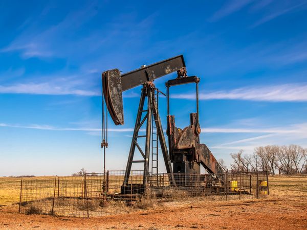
Abandoned Well Location & Monitoring (Zombie Oil Wells)
At TWSI, we specialize in locating, identifying, and surveying abandoned and inactive oil wells—commonly known as zombie wells. Using advanced detection methods, geospatial mapping, and industry-grade surveying tools, our mission is to bring these wells back into focus. Whether you’re a landowner, energy company, environmental consultant, or government agency, we provide the critical data you need to assess risk, plan remediation, or ensure regulatory compliance.

3D Laser Scanning
3D Laser Scanning is a fast, cost-effective method of tank strapping. It provides millions of data points for analysis, reporting, and the creation of 3D models. The 3D model can be used to visualize future changes while the tank is still in service. Examples of future changes might be adding or modifying platforms, heating coils, or changes to a floating roof. These advantages give 3D scanning an edge over other surveying methods.
3D Laser Scanning produces a variety of reports:
- High-accuracy gauge tables with alarm levels
- Tank bottom slope analysis
- Tank calibration
- Containment area analysis
- Tank settlement
- Shell verticality
- Out of roundness analysis
Manual Strapping has been a popular tank calibration method for many decades. To manually strap a tank, a certified tape is wrapped around the tank. However, it is unable to match the speed and accuracy of 3D scanning and cannot generate a variety of reports for your records.
Electro-Optical Distance Ranging (EODR) is another basic surveying technique. In addition to determining layouts by triangulation, EODR can also measure the distance to the point being surveyed. While EODR was cutting edge in the 90s, replacing the Optical Reference Line method of the 80s, it has been eclipsed by 3D scanning with its capability of measuring millions of points.

Tank Containment Survey
A Tank Containment Survey is a critical assessment that ensures above-ground storage tanks (ASTs) are safely enclosed and compliant with environmental regulations. Our survey evaluates the integrity, capacity, and condition of the containment system—whether it's an earthen berm, concrete dike, or synthetic liner.
We inspect for:
- Proper containment volume (110%+ of tank capacity)
- Structural stability of walls or berms
- Evidence of erosion, cracking, or seepage
- Drainage systems and water management
- Compliance with EPA and state environmental regulations
Our goal is to identify potential risks before they become liabilities. Whether you're in the oil & gas, chemical, or agricultural sector, we provide thorough documentation, GPS mapping, and high-resolution imagery to support compliance and environmental safety.
Protect your assets. Prevent contamination. Stay compliant.

Gauge Tables
Based on our tank calibration and analysis, Tank-Well Survey & Inspection is able to produce a high-accuracy gauge table. Most gauge tables are listed in barrels per ⅛ of an inch, but any standard units can be used.
The customer should specify:
- Innage or ullage
- Level increment (feet and inches, decimal of feet, centimeters, millimeters, etc.)
- Volume (barrels, gallons, liters, etc.)
- API gravity or gravity of product stored
- Delivery format
Digital calibration files are stored by Tank-Well Survey & Inspection, and the gauge table will be provided to the customer as a letter-size or legal-size Excel and PDF printout, and laminate provided as per request. Data plates provided on request.
Other commonly used terms for gauge table are:
- Strapping Chart
- Strapping Table
- Calibration Table
- Tank Chart
- Tank Calibration Chart
- Tank Gauge Chart
- Gauge Chart
- Dip Charts
- Reference Gauge Height Data Plate (upon request)

Other Services:
Give us a call for more information on our additional services:
- Tank Overfill Protection and Alarm Level Determinations per API 2350
- Out of Roundness Report for tanks with a Floating Roof
- 3D Models
- Determination of Floating Roof Weight and Bottom Critical Zone
- Settlement Survey and Tilt Reports
All calculations are done by professionals with working knowledge of American Petroleum Institute (API), Institute of Petroleum (IP), and International Organization of Standardization (ISO) standards.
Our Services, tank strapping, gauge table, 3d laser scanning services


Copyright © 2025 TWSI - All Rights Reserved.
This website uses cookies.
We use cookies to analyze website traffic and optimize your website experience. By accepting our use of cookies, your data will be aggregated with all other user data.